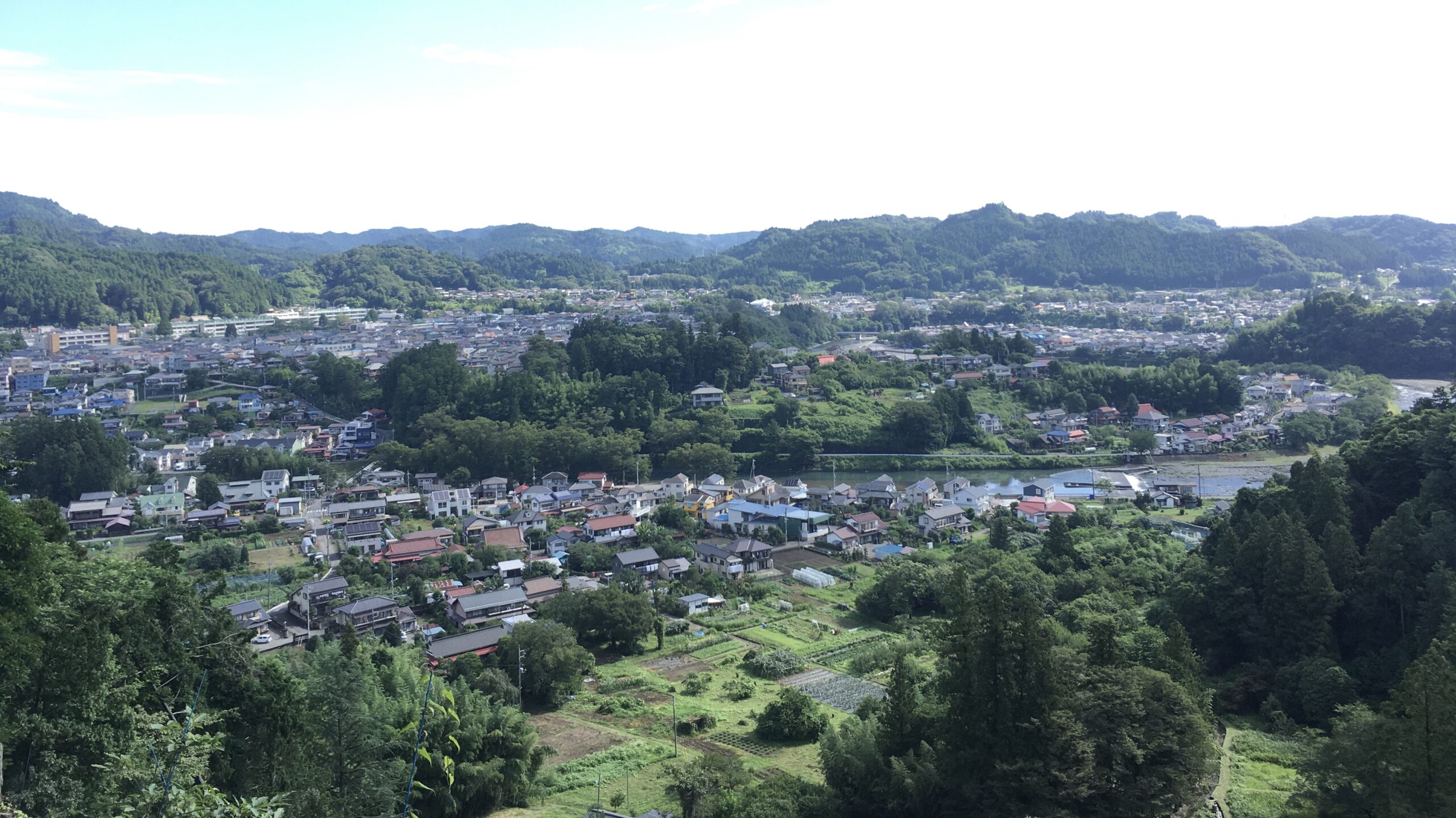
If trail running had a home town in the Tokyo area, it would have to be 武蔵五日市 – Musashi Itsukaichi in the あきる野市- Akiruno City district. Some may say that 高尾山 – Mt Takao should hold this title. Though Takao is very popular and has many shops and restaurants, the Takao area is very much entwined with the hiking world.
Musashi Itsukaichi is much closer to the heart of the Japanese trailrunner. It is the home of the 71.5K ハセツネCUP – Hasetsune Cup Endurance Race. In the 2010s, trail running in Japan gained popularity along with sport worldwide. Many races cropped up during that time and have seen consistent popularity. Hasetsune started in 1993. The entry process is first come, first served, and fills within minutes of opening every June 1st.
What Makes Hasetsune So Special?
There are a few key characteristics of Hasetsune that make it a unique challenge:
1. There is only one aid station, and no support teams or pacers allowed.
2. The aid station does not provide any food, only 1.5L of water or sports drink per runner.
3. The first half of the race is a relentless up-and-down affair culminating in the highest point of the race. The second half punctuated by four prominent peaks, followed by a very runnable 10K to the finish.
4. The 13:00 start time ensures that every competitor will spend some time in the dark. The current course record is just over seven hours, and sunset comes at around 17:20 on race day.
Musashi Itsukaichi is the launching point for training runs on the course. You can take a train to the JR East 武蔵五日市駅 – Musashi Itsukaichi Station and start on foot to where the main road meets up with the course just south of the junior high school. Depending on the length of your training session, you can take a feeder trail off the course to the main road where busses can take you back to the station. Alternatively, you could transfer at the station to a bus and meet up with the trail after getting off the bus and climbing to the ridge on a feeder trail. From there, your run can follow the trail around and back into town.
Trailhead Map

Getting to the trail through the town can be a hurdle. To help, we have created a Musashi Itsukaichi Trailhead Map. It leads you from the train station to either the trailhead at the start of the race course, or to the trailhead in the reverse direction. One of our favorite runs is a there-and-back heading out of town up the north side. This follows the final kilometers of the race up to 日の出山 – Mt Hinode and 御岳山 – Mt Mitake and back.
The Musashi Itsukaichi Trailhead Map is a geospatial PDF. If you use a smartphone app like Avenza Maps, you can track your location on the PDF so you can ensure you are safely on course.
Getting out to Musashi Itsukaichi is easy. Take a look at our How to Get Out to the Tokyo Mountains guide.
Let us know what you think in the comments.
