
| Distance | 9.2K |
| Elevation Gain | 270m |
| Elevation Drop | 925m |
Long runnable section to finish the course
This last section is by far the longest. Though there are some landmarks along the way, the course never crests a mountain or goes through a shrine or temple. It is a nice long, mostly runnable downhill.
Sunrise Mountain

It starts out at 日の出山Mt Hinode. The name Hinode refers to the sunrise, when the 日 – hi – sun 出 – de – comes out. Some say this name was given due to the mountain’s position relative to 御岳山 – Mt Mitake. To viewers on Mt Mitake, the sun would rise over Mt Hinode.

From the peak of Hinode, there are great views on a clear day over 東京 – Tokyo to the southwest. The mountains of 八王子 – Hachioji and 丹沢 – Tanzawa are visible to the south, and further east, 富士山 – Mt Fuji is visible behind a ridge.
History, Fact and Fiction

Hinode is another of the areas on the course, along with 大岳山 – Mt Otake, which has been incorporated into the backstory of a character in the popular manga series 鬼滅の刃 – Kimetsu no Yaiba – Demon Slayer. Hinode, which is a mountain the village surrounding it, is the home of the character 悲鳴嶼行冥 – Gyomei Himejima, purportedly a powerful swordsman.
There was also Japan-US Summit held in the town, at the private villa of then Prime Minister 中曽根 康弘 – Nakasone Yasuhiro, in 1983. To think, the ‘Great Gipper’ Ronald Reagan relaxed in the shadows of the birthplace of Gyomei Himejima!
The Trail

…but first some stairs
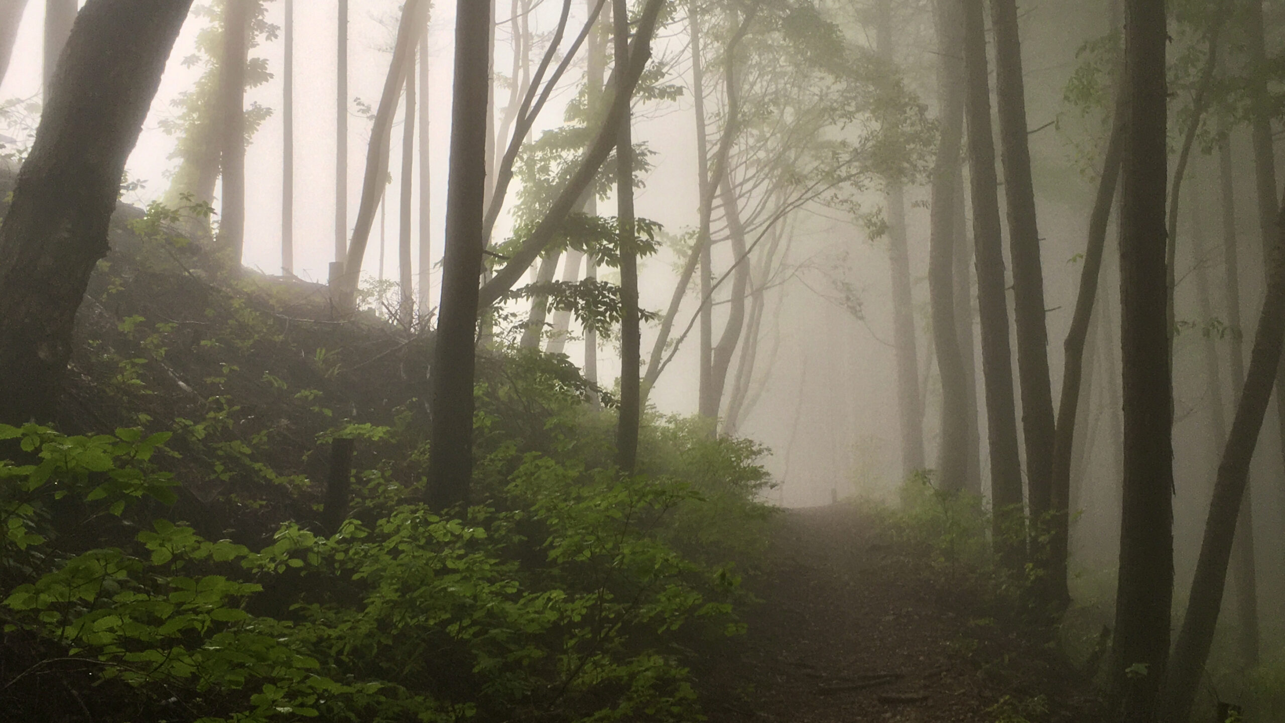
Take the southern stairs off the peak. You pass through what look to be castle ruins and continue down. You come upon one of the worst sets of stairs in all of Japan Trail Architecture. Narrow, rounded, and shallow. It is tough to calculate a good pace, but luckily they are over soon.
After the initial drop of 150m over a little more that half a kilometer, the grade becomes more gradual and you can run for most of the ensuing trail. From this point there is no climb that is greater than 30m.

Once you traverse all the switchbacks and rolling hills you hit the 7k mark. Here all climbing ends and you have a downhill journey to the finish at 五日市会館 – Itsuaichi Hall. You pass near 琴平神社 – Kotohira Shrine on the last bit of trail before hitting a steep cement downhill.
You are spit out on to the road above town, and you make your way through the roads to the finish.
Related Links
How to Get Out to the Tokyo Mountains
How to Read Hasetsune Trail Markers
ハセツネ – Hasetsune
https://www.hasetsune.jp/ (Official Site)
More in this series
- Hasetsune Course: Mt Hinode to Itsukaichi Hall

- Hasetsune Course: Mt Mitake To Mt Hinode

- Hasetsune Course: Mt Otake to Mt Mitake

- Hasetsune Course: Odawa to Mt Otake

- Hasetsune Course: Mt Gozen to Odawa

- Hasetsune Course: Tsukiyomi Parking to Mt Gozen

- Hasetsune Course: Mt Mito to Tsukiyomi Parking

- Hasetsune Course: Saibara Pass to Mt Mito

- Hasetsune Course: Maruyama to Saibara Pass

- Hasetsune Course: Sengen Pass to Maruyama

- Hasetsune Course: Mt Mikuni to Sengen Pass

- Hasetsune Course: Daigomaru to Mt Mikuni

- Hasetsune Course: Mt Ichimichi to Daigomaru

- Hasetsune Course: Iriyama Pass to Ichimichi Turn

- Hasetsune Course: Mt Imakuma To Iriyama Pass

- Hasetsune Course: Start to Mt Imakuma

- How to Read Hasetsune Trail Markers

- The Hometown of Japan Trailrunning – Musashi Itsukaichi

