Category: #Hasetsune
-
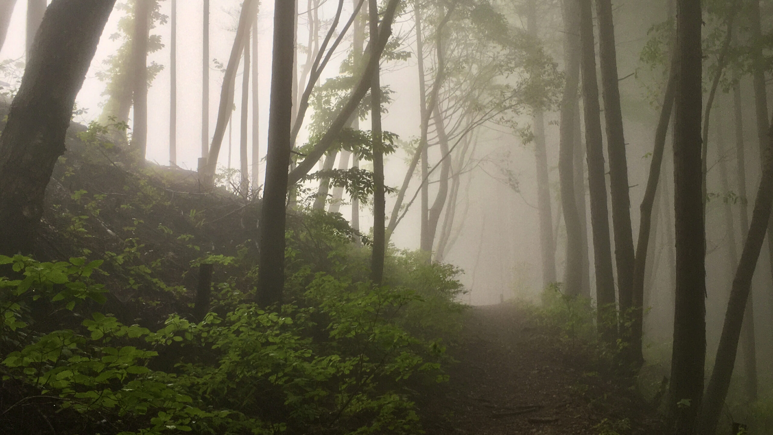
Hasetsune Course: Mt Hinode to Itsukaichi Hall
Distance 9.2K Elevation Gain 270m Elevation Drop 925m Long runnable section to finish the course This last section is by far the longest. Though there are some landmarks along the way, the course never crests a mountain or goes through a shrine or temple. It is a nice long, mostly runnable downhill. Sunrise Mountain It…
-
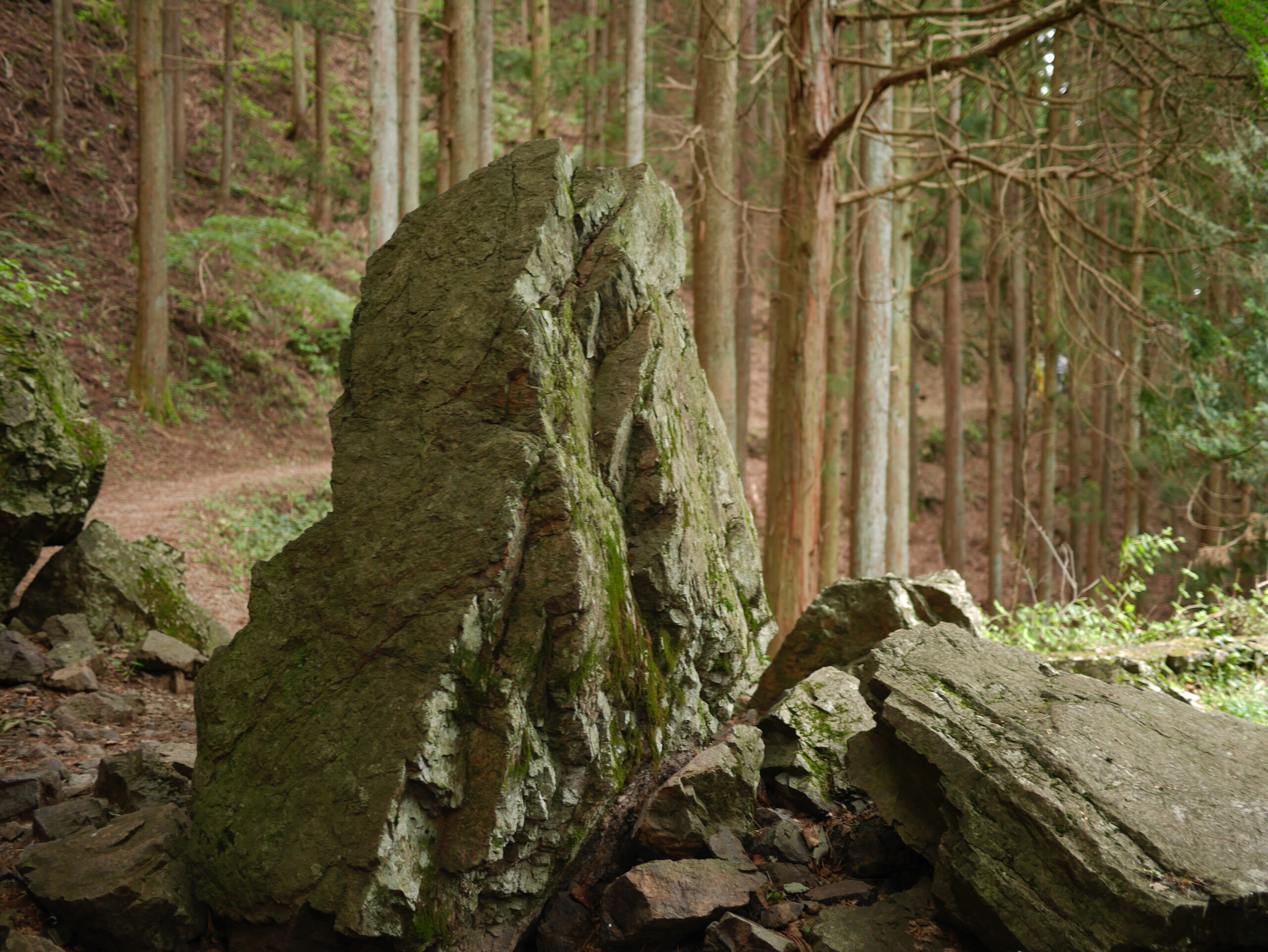
Hasetsune Course: Mt Mitake To Mt Hinode
Distance 2.2K Elevation Gain 135m Elevation Drop 115m 2.2K from historic Mitake to the last peak on the course As you enter the town of 御岳山 – Mitakesan, the trail ceases to run a border between municipalities. Where it had been separating 奥多摩町 – Okutama to the north and 檜原村 – Hinohara to the south…
-
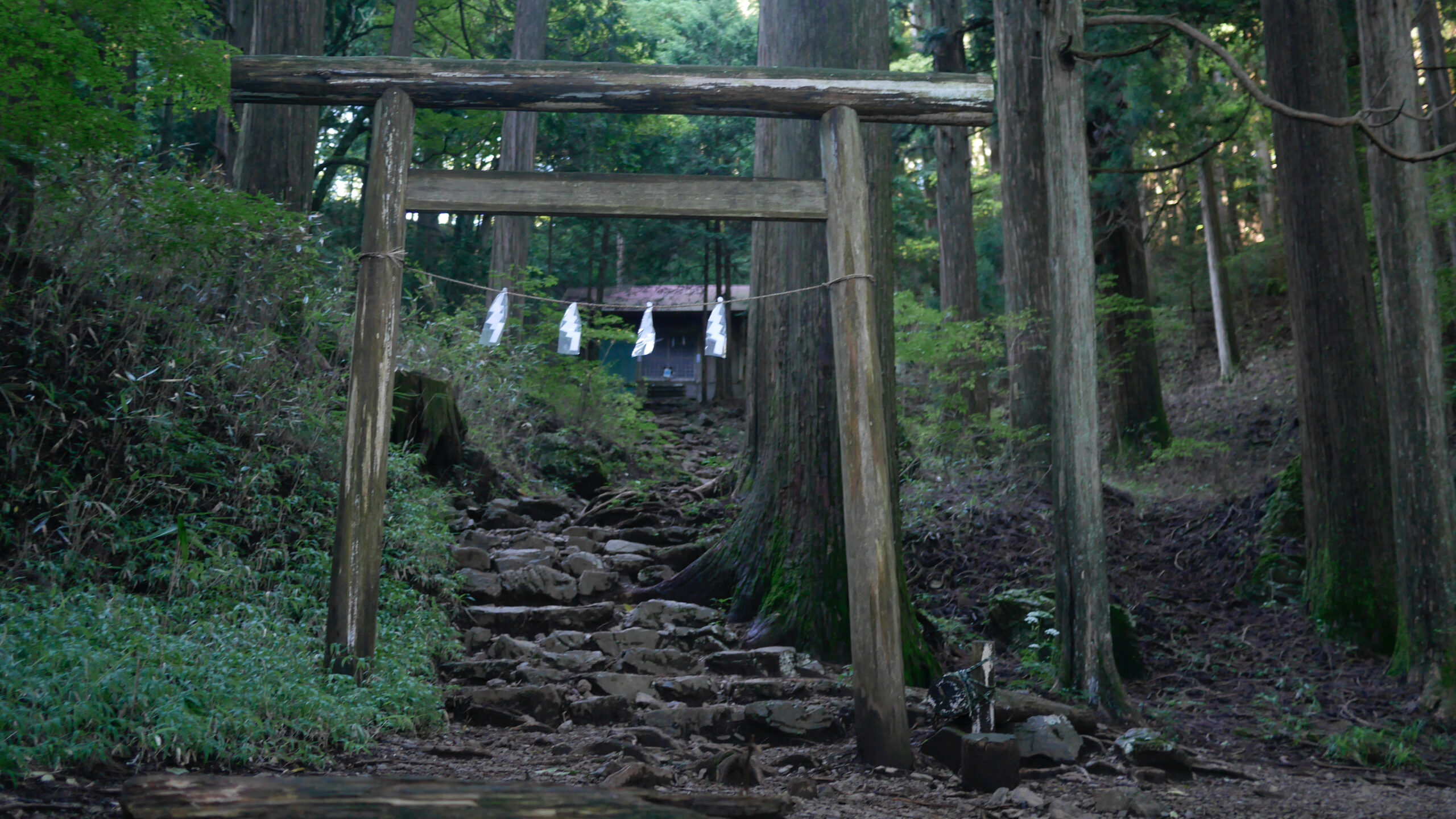
Hasetsune Course: Mt Otake to Mt Mitake
Distance 3.9K Elevation Gain 128m Elevation Drop 491m The long road down to the finish starts on Mt Otake The route down 大岳山 – Mt Otake starts with a short 80m drop to the main site of the 大岳神社 – Otake Shrine. The stone steps up to the complex from the torii can be slippery,…
-
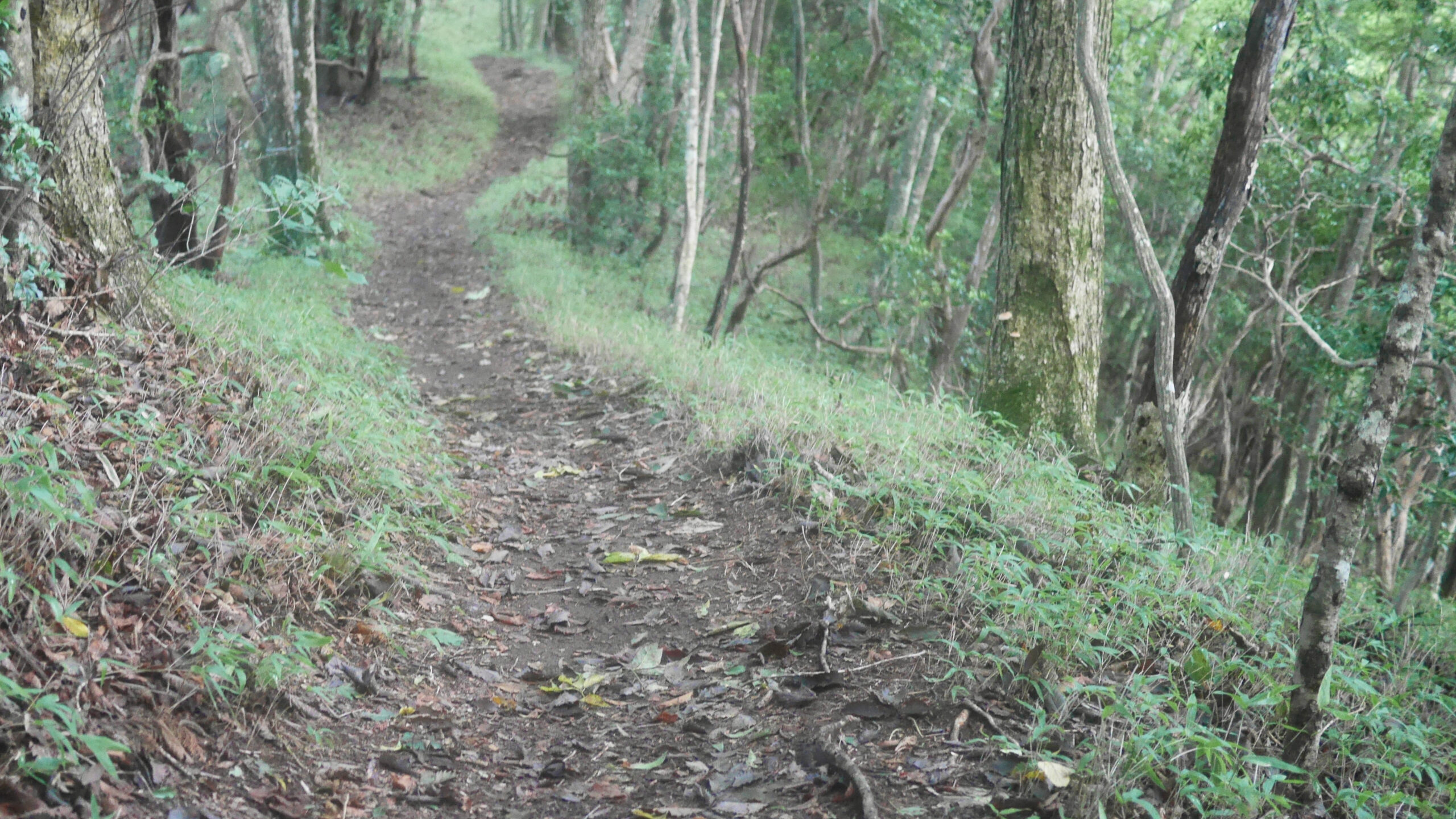
Hasetsune Course: Odawa to Mt Otake
Distance 3.3K Elevation Gain 325m Elevation Drop 65m Rock Scrambles up to Mt Otake This segment begins at a wide part of a mountain road which comes up from the 檜原村 – Hinohara side. The path down to 奥多摩町 – Okutama is blocked and the signs indicate that the road is closed even to pedestrian…
-
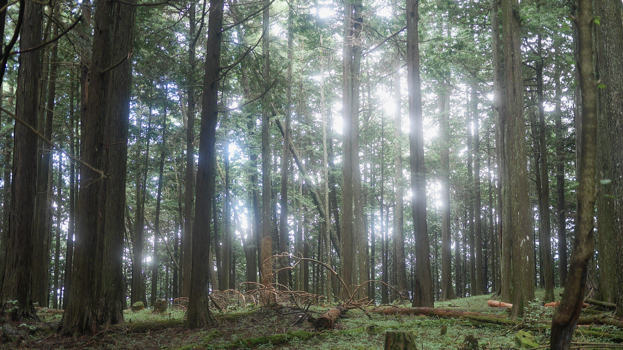
Hasetsune Course: Mt Gozen to Odawa
Distance 2.8K Elevation Gain 108m Elevation Drop 497m Extended DownHill with Steps and a Water Supply This short section is mostly downhill, punctuated with a few short peaks. The initial section as you step off the top of 御前山 – Mt Gozen is a long wavy staircase. In general we here at jmt distain such…
-
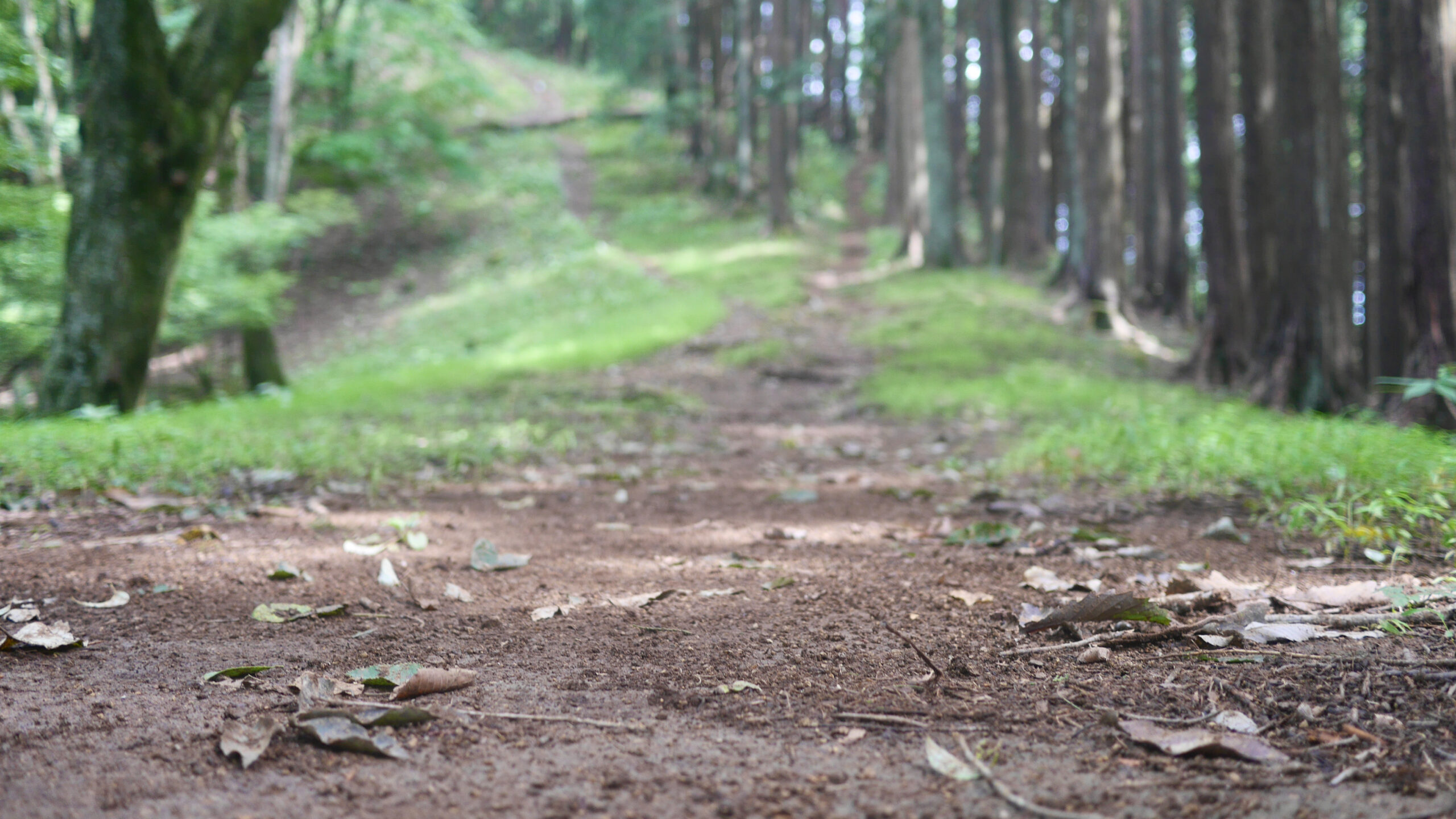
Hasetsune Course: Tsukiyomi Parking to Mt Gozen
Distance 4.1K Elevation Gain 471m Elevation Drop 160m Maki Michi, a long Climb, & Trail Architecture Looking at the parking lot from the road side from which you enter, there are three pairs of metal hoops along the back wall. The trail goes through the pair to the left. It starts with a sharp descent.…
-
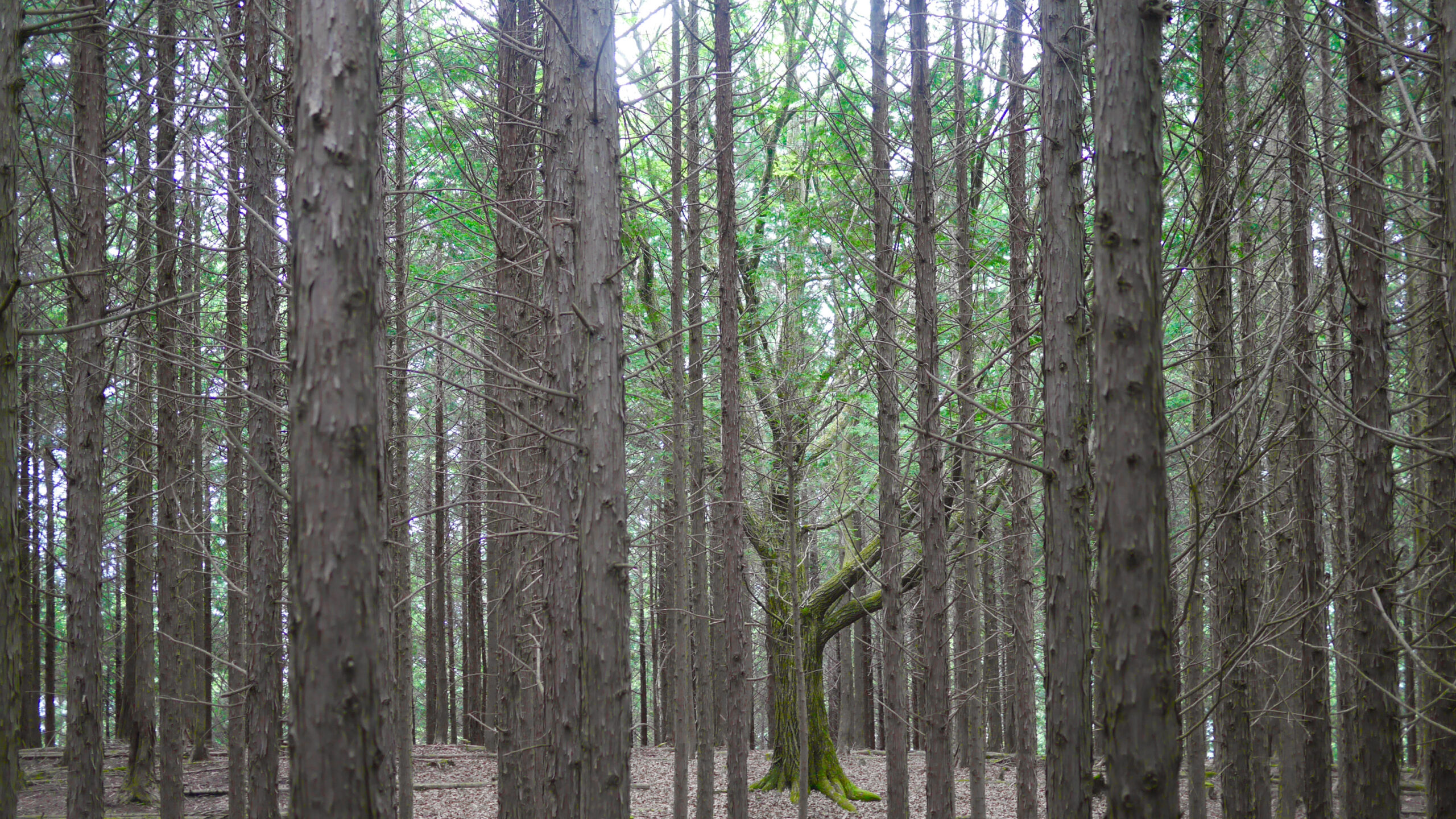
Hasetsune Course: Mt Mito to Tsukiyomi Parking
Distance 5.3K Elevation Gain 257m Elevation Drop 660m This section is has three distinct features: a long descent from 三頭山 – Mt Mito, stretches of runnable trail, and a few short sections where you flirt with the road. I would venture that this is the least practiced upon section, as it is the most remote…
-
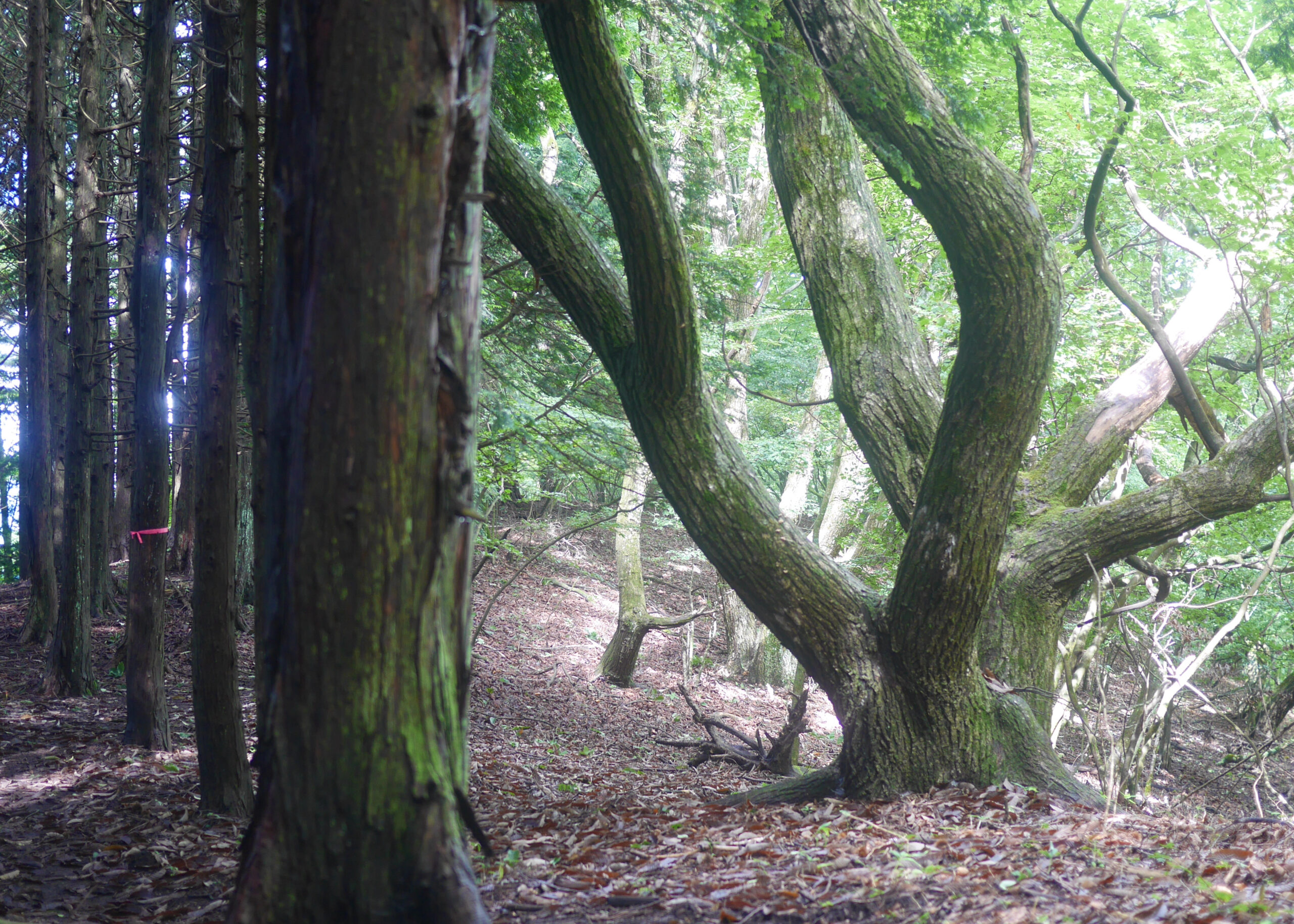
Hasetsune Course: Saibara Pass to Mt Mito
Distance 3.1K Elevation Gain 472m Elevation Drop 133m Enter the Forest of Tokyo Citizens A quick glance at the elevation chart above and one can tell this is a trail of two halves. The first part is a very nice runnable gentle downhill. Then you start to climb. Runnable First 1K Starting off at 西原峠…
-
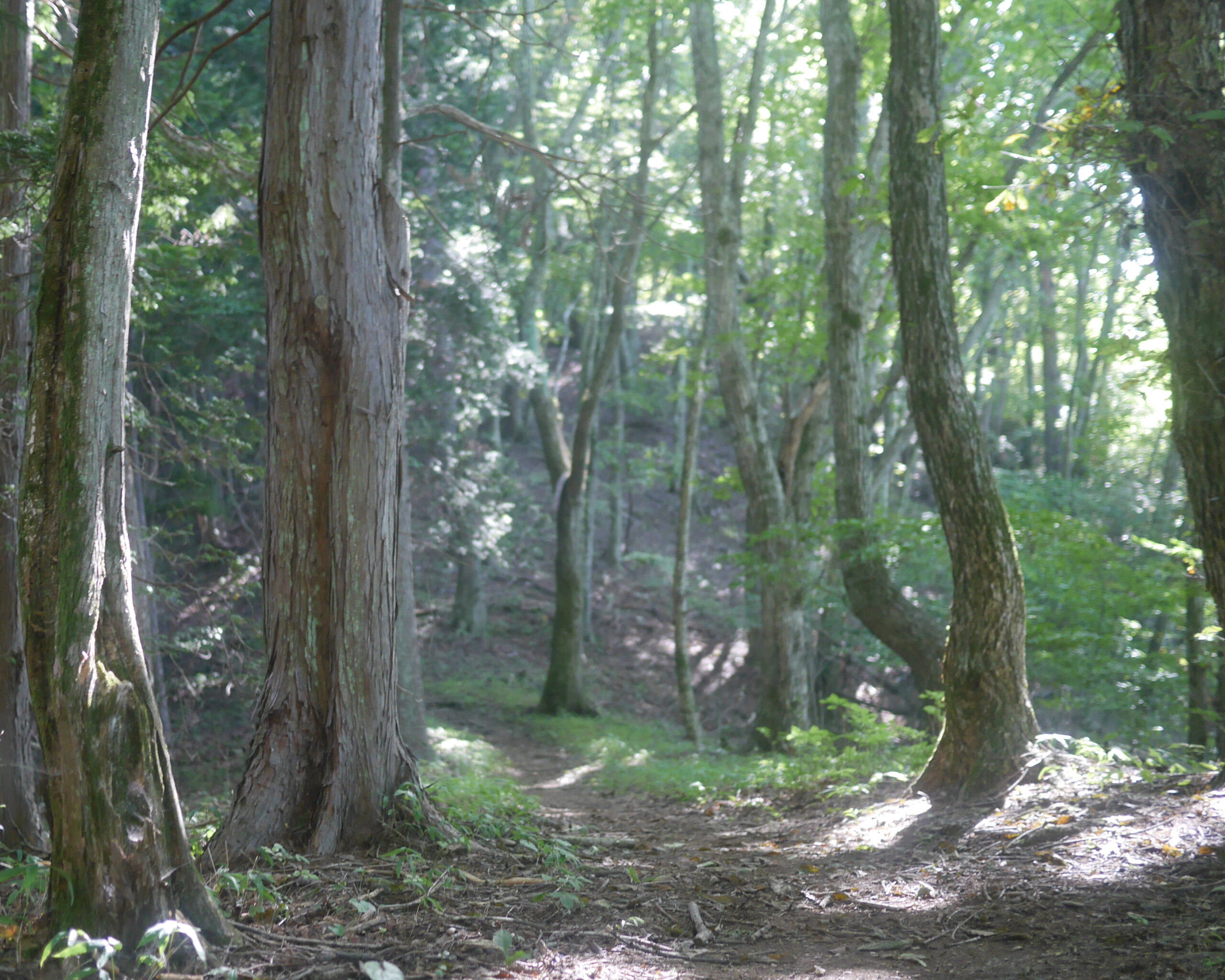
Hasetsune Course: Maruyama to Saibara Pass
Distance 4.2K Elevation Gain 235m Elevation Drop 149m From 丸山 – Maruyama up to 三頭山 – Mito there are interesting geological features. a type of rock called 数馬御影石 – kazuuma mikageishi – Kazuma Granite can be found here. Interestingly the rock on this souther section of the trail is different than the northern section. To…
-
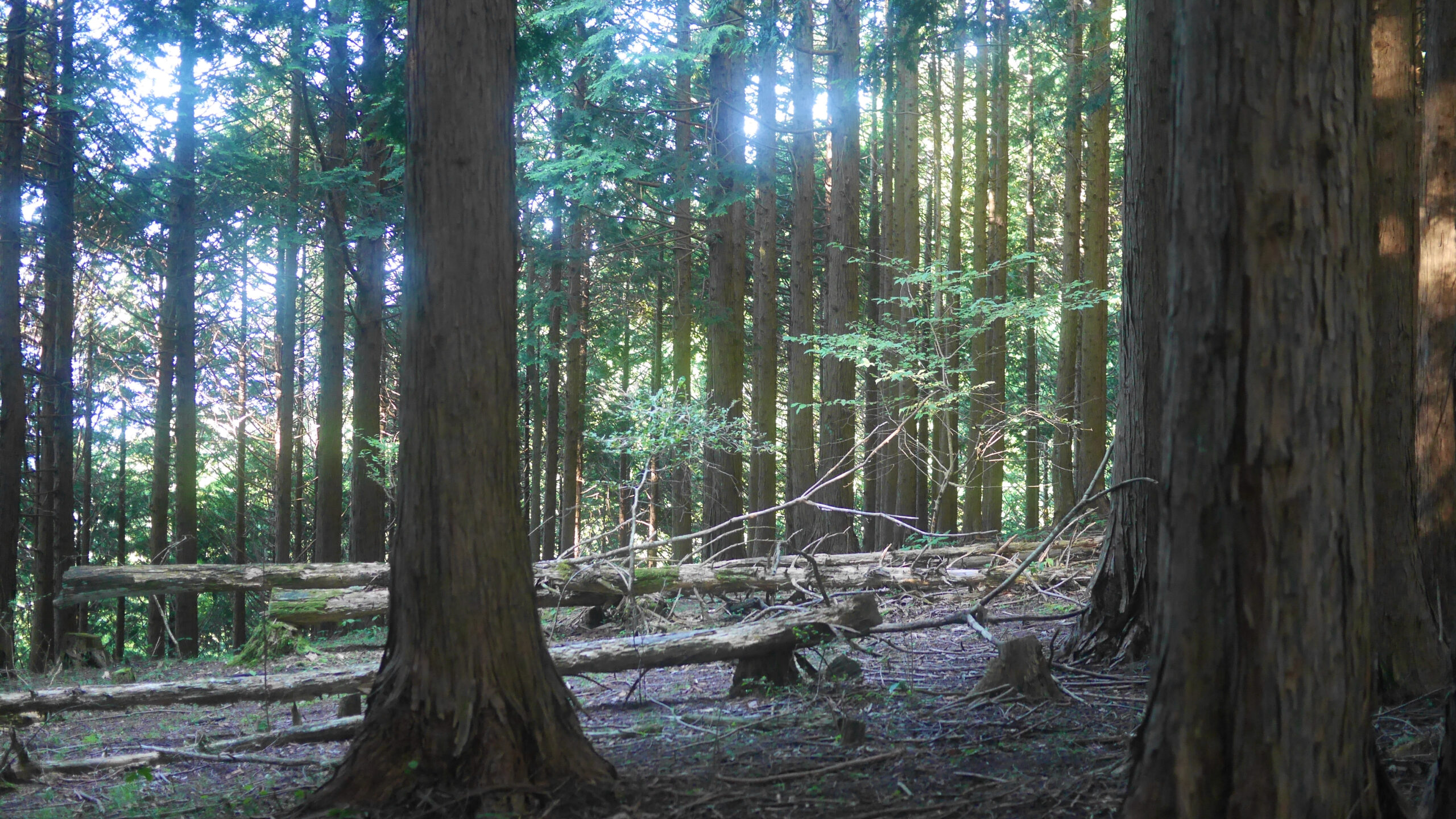
Hasetsune Course: Sengen Pass to Maruyama
Distance 4.9K Elevation Gain 455m Elevation Drop 228m Trail Jizo, a water spot, and a mountain pass with an alias The trail from 浅間峠 – Sengen Pass to 丸山 – Maruyama starts up a short hill. You then head down for a good 200 meters and the familiar up and down starts again. After dipping…