
| Distance | 4.1K |
| Elevation Gain | 471m |
| Elevation Drop | 160m |
Maki Michi, a long Climb, & Trail Architecture

Looking at the parking lot from the road side from which you enter, there are three pairs of metal hoops along the back wall. The trail goes through the pair to the left.

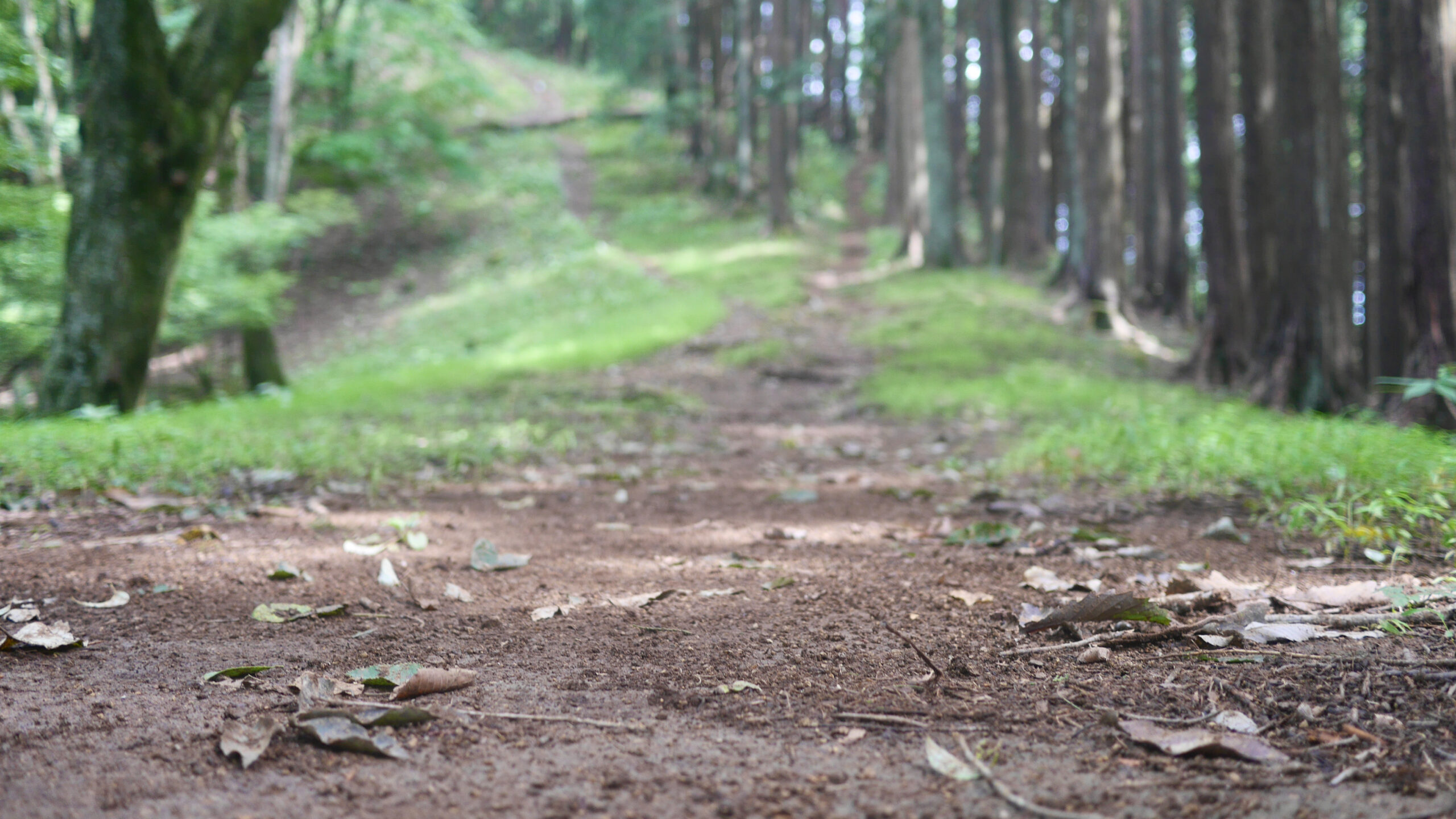
It starts with a sharp descent. The first half of this section is pretty runnable, and soon you are introduced to one of its main characteristics – the maki michi. From the parking lot to the top of Mt Sogaku the trail rarely takes a route over a peak.
Ogouchi Pass
You reach Ogouchi Pass just before the 2k mark on this section. There are trails north to Lake Okutama and south to the Fujikura and the No 18 bus to Musashi Itsukaichi JR station.
From here there is a 165m climb over the next 800 meters. From there, the trail dips for 200 meters before another 160m ascent in 500 meters to the landing at the top of Mt Sogaku.

Over this section there are some beautiful undulating ridge trails with steep slopes on the norther side.
Geology

You can also see a feature of this northern section of the trail here – limestone. Due to the Itsukaichi-Kawakami fault line running through Hinohara, the geology of the southern section of the trail is different from the northern section. White limestone is clearly visible on the trail as you turn the corner and near the final approach to Mt Sogaku
Distance Marker Math

On the top of Mt Sogaku there is a trail heading south east, with a post pointing towards Mt Gozen. The distance indicator says 0.6km. You find a couple more markers along the way, one indicating 0.4, and then a good 150m later one indicating 0.3km. Tired legs will start complaining about the discrepancy, pointing out the trail marker pointing towards 0.4km to Mt Sogaku. Even when math is one of the first faculty to be lost during an endurance event, it is easy to tell that 0.3km plus 0.4km does not equal the 0.6km of the original marker. There would be no complaints, mind you, had the distance become shorter.
Trail Architecture

You quickly drop your complaints as you draw your attention to a variety of trail architecture. There are three species of steps in the remaining 300 meters to the top of Mt Gozen. There is a staircase, floating individual steps, and a set of longer plank steps.

Before you know it, you reach the top. Mt Gozen is one of the most anticlimactic peaks of the entire course.
Related Links
How to Get Out to the Tokyo Mountains
How to Read Hasetsune Trail Markers
ハセツネ – Hasetsune
https://www.hasetsune.jp/ (Official Site)
More in this series
- Hasetsune Course: Mt Hinode to Itsukaichi Hall

- Hasetsune Course: Mt Mitake To Mt Hinode

- Hasetsune Course: Mt Otake to Mt Mitake

- Hasetsune Course: Odawa to Mt Otake

- Hasetsune Course: Mt Gozen to Odawa

- Hasetsune Course: Tsukiyomi Parking to Mt Gozen

- Hasetsune Course: Mt Mito to Tsukiyomi Parking

- Hasetsune Course: Saibara Pass to Mt Mito

- Hasetsune Course: Maruyama to Saibara Pass

- Hasetsune Course: Sengen Pass to Maruyama

- Hasetsune Course: Mt Mikuni to Sengen Pass

- Hasetsune Course: Daigomaru to Mt Mikuni

- Hasetsune Course: Mt Ichimichi to Daigomaru

- Hasetsune Course: Iriyama Pass to Ichimichi Turn

- Hasetsune Course: Mt Imakuma To Iriyama Pass

- Hasetsune Course: Start to Mt Imakuma

- How to Read Hasetsune Trail Markers

- The Hometown of Japan Trailrunning – Musashi Itsukaichi

