
| Distance | 5.3K |
| Elevation Gain | 257m |
| Elevation Drop | 660m |
This section is has three distinct features: a long descent from 三頭山 – Mt Mito, stretches of runnable trail, and a few short sections where you flirt with the road.
I would venture that this is the least practiced upon section, as it is the most remote from any public transport. From my experience, it also seems to be least well marked. The navigation posts often get covered with leaves and fallen branches.
Leaving Mito

Take the trail leading due west, adjacent to the stairs by which you summited the the peak.
三頭 – Mito means ‘three heads.’ There are in fact, three peaks to the mountain. The Hasetsune Course comes from the western side of the mountain and cross the peak of the western-most of the three heads. It then skirts the sides of the 中央峰 – Central and the 東峰 – East peaks on its way down to 鞘口峠 – Saiguchi Pass.
Saiguchi Pass
1.6 kilometers and over 360m of descent from the summit of Mt Mito is Saigughi Pass. The course goes straight up the hill to the west, but are are trails to the north and south. The trail to the north is towards a parking spot near 奥多摩湖Lake Okutama. The one to the south leads to the 檜原都民の森Hinohara Tomin no Mori complex. You can sit and shuffle your belongings in your bag sitting on a bench on the small deck built on the south side of the trail.
Kazahari pass

At about the 3.5k point you reach 風張峠 – Kazahari pass. Here the trail approaches the road, and dabbles in and out of the roadside for the remainder of this section until the parking lot.
Mt Tsukuyomi

You pass a tricky section of trail on the approach to 月夜見山 – Mt Tsukiyomi. The trail goes straight, but there is a sharp right up a hill past some boulders. You can see a small white sign pointing the way on the left side of the trail.

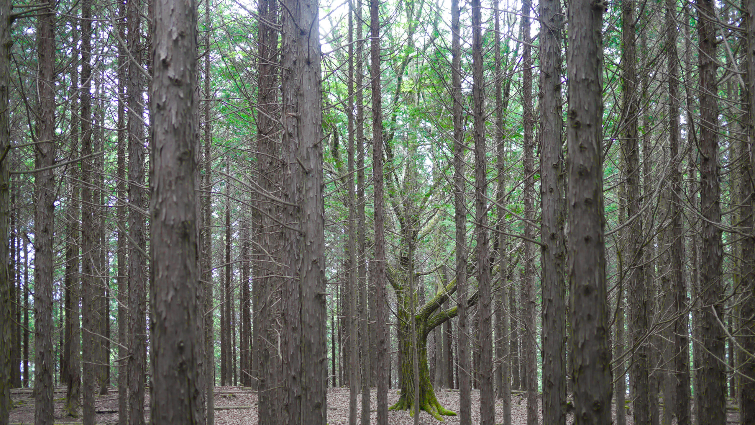
With about 300 meters to go before the parking lot, you reach the summit of Mt Tsukiyomi. The name intimates a place to view the moon at night. With the evergreen canopy on the Hinohara side, you could only have a chance to see a winter moon over Okutama.
Parking

Soon after passing through the lackluster summit of Mt Tsukiyomi, you descend to the road. There is a stretch on a sharp curve, so be careful as you make your way veering right out of the trailhead. The parking lot is named 月夜見第二駐車場 – Parking lot 2 for Mt Tsukiyomi. And it is a big parking lot, too. I wonder what goes on at the top of Mt Tsukiyomi.

During the race, this is the site of the only aid available. Participants are allowed only 1.5 liters of water or sports drink. Unlike most trail races, there is no food available at this aid.
Related Links
How to Get Out to the Tokyo Mountains
How to Read Hasetsune Trail Markers
ハセツネ – Hasetsune
https://www.hasetsune.jp/ (Official Site)
More in this series
- Hasetsune Course: Mt Hinode to Itsukaichi Hall

- Hasetsune Course: Mt Mitake To Mt Hinode

- Hasetsune Course: Mt Otake to Mt Mitake

- Hasetsune Course: Odawa to Mt Otake

- Hasetsune Course: Mt Gozen to Odawa

- Hasetsune Course: Tsukiyomi Parking to Mt Gozen

- Hasetsune Course: Mt Mito to Tsukiyomi Parking

- Hasetsune Course: Saibara Pass to Mt Mito

- Hasetsune Course: Maruyama to Saibara Pass

- Hasetsune Course: Sengen Pass to Maruyama

- Hasetsune Course: Mt Mikuni to Sengen Pass

- Hasetsune Course: Daigomaru to Mt Mikuni

- Hasetsune Course: Mt Ichimichi to Daigomaru

- Hasetsune Course: Iriyama Pass to Ichimichi Turn

- Hasetsune Course: Mt Imakuma To Iriyama Pass

- Hasetsune Course: Start to Mt Imakuma

- How to Read Hasetsune Trail Markers

- The Hometown of Japan Trailrunning – Musashi Itsukaichi

