
| Distance | 3.1K |
| Elevation Gain | 472m |
| Elevation Drop | 133m |
Enter the Forest of Tokyo Citizens
A quick glance at the elevation chart above and one can tell this is a trail of two halves. The first part is a very nice runnable gentle downhill. Then you start to climb.
Runnable First 1K

Starting off at 西原峠 – Saibara Pass, you ascend quickly to 槇寄山 – Mt Makiyose at 1188m.
From there there is over 1k of a gradual descent of about 50m before you hit an extended climb. In the next 1.1k up to 大沢山 – Mt Osawa the trail ascends some 350m.
Hinohara Tomin no Mori

Three quarters of the way up that hill there is a landing. By this point, the trail has entered 檜原都民の森 – Hinohara Tomin no Mori – a Prefectural park whose name is translated as ‘the Forest of the People of Tokyo Prefecture.’ It conjures an image of a lot of people.
On the landed there are benches, and to the left is a nice view of 富士山 – Mt Fuji.
The park is nestled in the northwest of 檜原村 – Hinohara Village. Across its western boundary is 山梨県Yamanashi Prefecture. To the north is the town of 奥多摩町 – Okutama, Tokyo Prefecture.
Tomin no mori is a nature center offering a variety of activities including classes on flora & fauna and hands on experiences with wood like felling trees and making furniture. The grounds have a network of trails and a nice waterfall.
For more information, visit https://www.hinohara-mori.jp/
Still a Bit More to Climb
400 meters past the landing, and after a 90M climb, you reach Mt Osawa. Just down from the peak of Mt Osawa is an unmanned shelter. There are toilet facilities inside.
The trail dips a bit to ムシカリ峠 – Mushikari Pass, with another trail heading down to the Tomin no Mori complex.

From this pass the trail goes back up over stairs of wood planks, a stretch of trail, and then stone steps. After 400 meters and a gradual 90m climb you reach the highest point of the Hasetsune Course at the western peak of 三頭山 – Mt Mito.

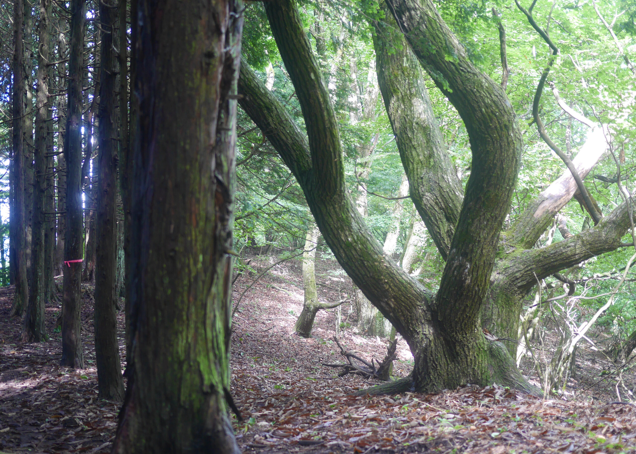
Mt Mito is where the笹尾根 – Sasa Ridge begins. As you climb the stone steps and pass the bent tree, you are at the very head of the ridge which, 40K to the southwest, ends at the base of 高尾山 – Mt Takao and 高尾山口駅 – Takaosanguchi train station.
Related Links
How to Get Out to the Tokyo Mountains
How to Read Hasetsune Trail Markers
ハセツネ – Hasetsune
https://www.hasetsune.jp/ (Official Site)
More in this series
- Hasetsune Course: Mt Hinode to Itsukaichi Hall

- Hasetsune Course: Mt Mitake To Mt Hinode

- Hasetsune Course: Mt Otake to Mt Mitake

- Hasetsune Course: Odawa to Mt Otake

- Hasetsune Course: Mt Gozen to Odawa

- Hasetsune Course: Tsukiyomi Parking to Mt Gozen

- Hasetsune Course: Mt Mito to Tsukiyomi Parking

- Hasetsune Course: Saibara Pass to Mt Mito

- Hasetsune Course: Maruyama to Saibara Pass

- Hasetsune Course: Sengen Pass to Maruyama

- Hasetsune Course: Mt Mikuni to Sengen Pass

- Hasetsune Course: Daigomaru to Mt Mikuni

- Hasetsune Course: Mt Ichimichi to Daigomaru

- Hasetsune Course: Iriyama Pass to Ichimichi Turn

- Hasetsune Course: Mt Imakuma To Iriyama Pass

- Hasetsune Course: Start to Mt Imakuma

- How to Read Hasetsune Trail Markers

- The Hometown of Japan Trailrunning – Musashi Itsukaichi

