
| Distance | 4.2K |
| Elevation Gain | 235m |
| Elevation Drop | 149m |
From 丸山 – Maruyama up to 三頭山 – Mito there are interesting geological features. a type of rock called 数馬御影石 – kazuuma mikageishi – Kazuma Granite can be found here. Interestingly the rock on this souther section of the trail is different than the northern section. To the north, on the 御前山 – Gozen side, the rock is a mixture of sandstone, slate, limestone, and chert. Here on the 笹尾根 – Sasa Ridge side, there is a distinct lack of limestone and chert, and the addition of the Kazuma Granite
Uzushiki Pass

The course starts by heading down about 100m over the course of half a kilometer, flirting with the 1000m altitude mark. At the bottom of the hill is 笛吹峠 – Uzushiki Pass. note that alternate reading of the word is Fuefuki – this is the reading of the name of central 山梨県 – Yamanashi city, about 40km due west.
At Uzushiki Pass, there is a stone marker. This marker seemingly is unlike other mountain pass markers on the course. It says, as you approach form east to west, 「みぎ、かづま ひだり、さいばら」(数馬 – Kazuma on the right, 西原 – Saibara on the left).
Sasa ga Tawa no Mine

Over the next kilometer the trail regains its lost altitude. On the way up to 笹ヶタワの峰 – Sasagatawanomine there are a couple feeder trails on the Yamanashi side. Once at the peak, 1120m, there are trails off to the Kazuma section of 檜原村 – Hinohara and the onsens below.
Kazuma Pass

At 数馬峠 – Kazuama Pass there is an open view to the west. 富士山 – Mt Fuji is visible on a clear day.
Kazuma gives its name to the Pass at the end of this mountain, as well as the rock found in this area mentioned above. The practice of naming mountain passes for the towns below with which they connect is clear here, as Kazuma Pass has an alternate name, 上平 – Kamihira Pass. Kamihira is the name of an area on the Yamanashi side of the ridge just below the pass.

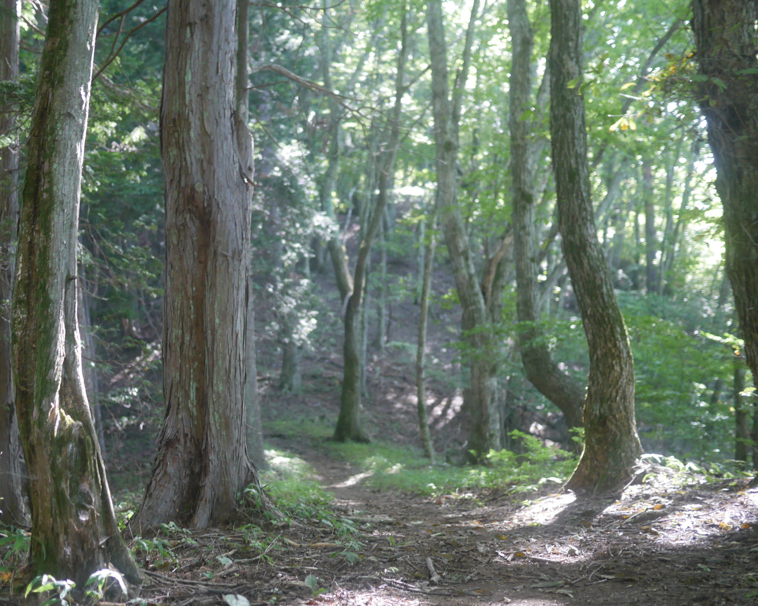
The trail on the first few sections on the hasetsune course are dry, broad, and rocky up-downs. In contrast, the trails between Mt Maruyama and Saibara Pass are generally slick and hug the side of the ridge. For much of the this section, the trail doesn’t ride the top of the ridge, but is just down the side. It is as if someone laid a rope on the slope on the ridge and it caught on some trees and sagged between them as it rolled down the side. The course bounces from tree to tree, with the tree to the right. The dark single-track is bordered on both sides by a scrub of the bamboo grass that gives the ridge its name.

The second half of this section has many runnable areas interrupted by a few climbs. One or two of these climbs are steep, but but never more than 20m in ascent at a time.
Saibara Pass
西原峠 – Saibara Pass connects the Saibara area of Yamanashi to the Kazuma are in Hinohara Village. It is a direct route to the last stop on the No 10 bus from Musashi Itsukaichi Station in Akiruno.

There is a small mailbox with the writing 温泉センターかわら版 – Onsen Center Info on it. Often you will see a folder or envelope placed inside. It appears to be an advertisement for the hot spring area below on the 東京 – Tokyo side of the ridge.
Related Links
How to Get Out to the Tokyo Mountains
How to Read Hasetsune Trail Markers
ハセツネ – Hasetsune
https://www.hasetsune.jp/ (Official Site)
More in this series
- Hasetsune Course: Mt Hinode to Itsukaichi Hall

- Hasetsune Course: Mt Mitake To Mt Hinode

- Hasetsune Course: Mt Otake to Mt Mitake

- Hasetsune Course: Odawa to Mt Otake

- Hasetsune Course: Mt Gozen to Odawa

- Hasetsune Course: Tsukiyomi Parking to Mt Gozen

- Hasetsune Course: Mt Mito to Tsukiyomi Parking

- Hasetsune Course: Saibara Pass to Mt Mito

- Hasetsune Course: Maruyama to Saibara Pass

- Hasetsune Course: Sengen Pass to Maruyama

- Hasetsune Course: Mt Mikuni to Sengen Pass

- Hasetsune Course: Daigomaru to Mt Mikuni

- Hasetsune Course: Mt Ichimichi to Daigomaru

- Hasetsune Course: Iriyama Pass to Ichimichi Turn

- Hasetsune Course: Mt Imakuma To Iriyama Pass

- Hasetsune Course: Start to Mt Imakuma

- How to Read Hasetsune Trail Markers

- The Hometown of Japan Trailrunning – Musashi Itsukaichi

