
| Distance | 4K |
| Elevation Gain | 196m |
| Elevation Drop | 301m |
Sasa Ridge Power Spot
At 三国山 – Mt Mikuni, on a clear day you can see 富士山 – Mt Fuji. It is especially easy in the winter. The air is crisp and visibility is naturally better, and the trees are striped of their leaves. This short section is a power spot on the 笹尾根 – Sasa Ridge.
Yamato Takeru and Mt Mikuni
Local legend holds that the tenacious 日本武尊- Yamato Takeru, on his way back from his campaigns in the East, stopped on Mt Mikuni to rest his troops. In order to quench their thirst he broke open a rock with his sword and water started to flow. That sword was none other that the famous 草薙の剣 – Kusanagi no Tsurugi, one of the three parts which make up the imperial regalia. It is venerated at 軍刀利神社 – Gundari Shrine.

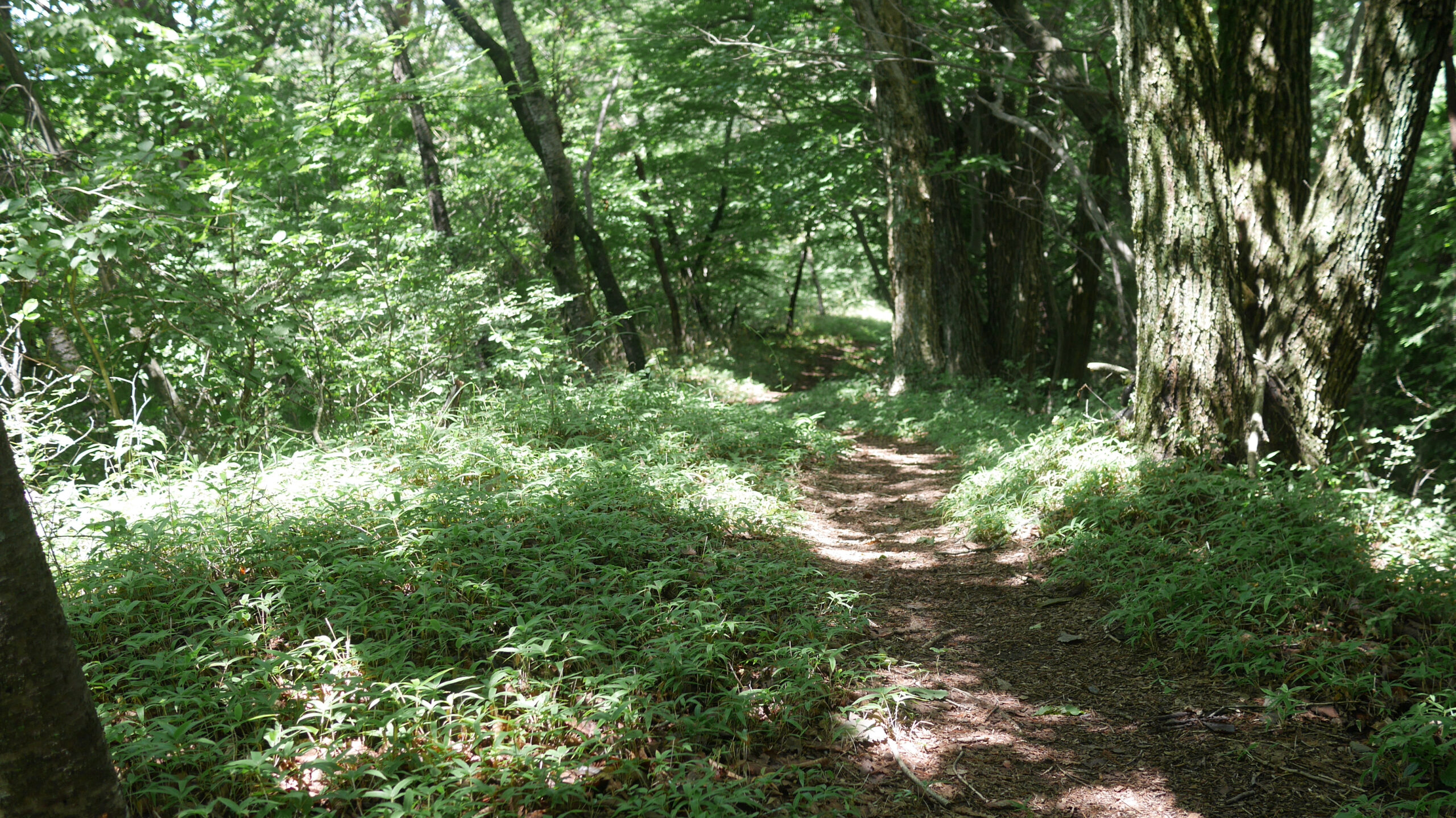
The run from Mt Mikuni to 浅間峠 – Sengen Pass is net downhill and can go pretty quickly. A short descent levels out and it is good to keep moving until you hit a staircase for a power hike.
Gundari Shrine
Gundari Shrine is made up of a few parts itself. First, there is a remnant of the first shrine that 吉田新田 – Nitta Yoshisada built in 1334. Situated just down the 小山尾根 – Koyama ridge from Mt Mikuni, it was impacted by wildfire in the 1590s and it was moved a bit further east to its current location.
Its ‘new’ home boasts a few buildings built in 1790. Halfway up the slope there is another building called 奥の院 – Okunoin, at which is a 500 year old katsura tree. Further still up the hill, on the top of Gundariyama is the motoyashiro, the inner shrine. Here the Takeda clan prayed for victory in battle in 1531

At the top of these stairs is the large silver painted torii of the 軍刀利元神社 – Inner Gundari Shrine. It is on the landing here where the 武田氏 – Takeda clan prayed for victory during the 戦国時代 – Sengoku.
Pass through in front of the torii while paying your respects and hit a downhill. There will be another small peak before hitting 熊倉山 – Mt Kumagura. This intermediate peak seems to have been mislabeled in a guidebook as Mt Gundari, so signs indicating as much pop up from time to time.
Mt Kumagura

At the peak of Mt Kumagura you are presented with a couple benches and milestone.
From the top of Mt Kumagura there is a 1 kilometer stretch where you descend about 140m. From that point, there are three or four short peaks before descending to Sengen Pass.
Sweat Descent to Sengen Pass

The last 750 meters of the course hugs the side of the slope. Though you need to be mindful of the odd root or two, this is a very soft and runnable section, with the exception of the final 10 meters which can be slippery in wet weather.
The First Checkpoint

Sengen Pass is the first official checkpoint of the Hasetsune Cup race. Most runners arrive here just as the day is getting dark. From this point on, trekking poles are allowed on the course. Runners often come in empty handed and leave with a headlamp switched on and poles in their hands.
There is a permanent shelter built here, as well as a few benches. No toilets, however. During the race, a set of portable toilet tents are arranged to on the trail leading down the 山梨県 – Yamanashi side.
Escape Route
There are trails heading down to theYamanashi side from the Gundari Shrine, Mt Kumagura, and from Sengen Pass.
On the 檜原村 – Hinohara side, there is a very runnable 2.5K trail down to the 上川バス停 – Kamikawa bus stop. On a hot day, you can take a dip in the 南秋川 -Southern Akigawa by taking a staircase to the left of the bridge as you meet the main road.

Related Links
How to Get Out to the Tokyo Mountains
How to Read Hasetsune Trail Markers
ハセツネ – Hasetsune
https://www.hasetsune.jp/ (Official Site)
More in this series
- Hasetsune Course: Mt Hinode to Itsukaichi Hall

- Hasetsune Course: Mt Mitake To Mt Hinode

- Hasetsune Course: Mt Otake to Mt Mitake

- Hasetsune Course: Odawa to Mt Otake

- Hasetsune Course: Mt Gozen to Odawa

- Hasetsune Course: Tsukiyomi Parking to Mt Gozen

- Hasetsune Course: Mt Mito to Tsukiyomi Parking

- Hasetsune Course: Saibara Pass to Mt Mito

- Hasetsune Course: Maruyama to Saibara Pass

- Hasetsune Course: Sengen Pass to Maruyama

- Hasetsune Course: Mt Mikuni to Sengen Pass

- Hasetsune Course: Daigomaru to Mt Mikuni

- Hasetsune Course: Mt Ichimichi to Daigomaru

- Hasetsune Course: Iriyama Pass to Ichimichi Turn

- Hasetsune Course: Mt Imakuma To Iriyama Pass

- Hasetsune Course: Start to Mt Imakuma

- How to Read Hasetsune Trail Markers

- The Hometown of Japan Trailrunning – Musashi Itsukaichi

