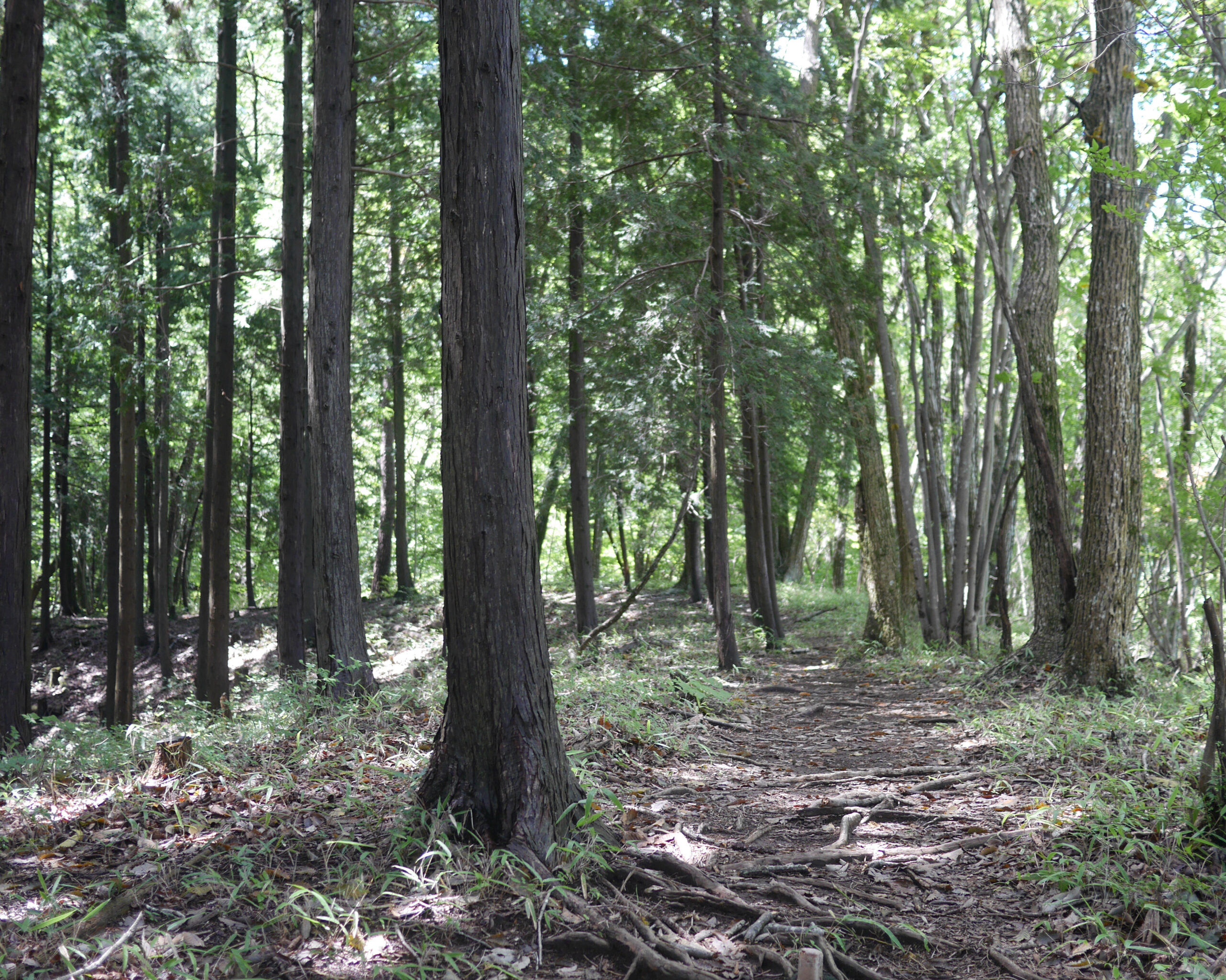

Steep downhill followed by Soft Technical trail Before a multi-pitch climb
| Distance | 2.8K |
| Elevation Gain | 264m |
| Elevation Drop | 176m |
Start by turning back to the left after you reach the signpost at the base of the southern approach to the 市道山 – Mt Ichimichi peak.
After a bit of slope-hugging, the trail descends increasingly steeply down a ridge where you lose over half of the total descent of this section of the course. After that, there are a few gentle rollers before you get to the climb up to 醍醐丸 – Daigomaru
Features of this Section

The 2.8 kilometers between Mt Ichimichi and Daigomaru have a few distinctive features. The aforementioned steep decline is one. Another is a sort of gradual downhill on soft dark dirt with subtly technical roots crossing the trail. The third is a thick patch of bamboo grass with the trail cut straight through.

You see a sign at the base of a climb announcing Daigomaru in 800 meters. You’d be forgiven for thinking that it is a climb for the duration, but after about 15 mins the trail levels off for a nice jog, quickly eating up a good chunk of the remaining distance before the final 2-tiered climb.
The Sasa Ridge – The End of this Section

Upon reaching the peak of Daigomaru, the Hasetsune trail joins 笹尾根 – the Sasa Ridge. The Sasa Ridge starts at the base of 高尾山 – Mt Takao and travels up past 陣馬山 – Mt Jimba, to Daigomaru and then along the Hasetsune course until it reaches the peak of 三頭山 – Mt Mito.
Like a lot of ridges in the mountains of Japan, the Sasa Ridge serves as a municipal boundary. Often while you are running the course, your right foot may fall in one village or town, and your left falls in another. Mountain tops along the ridge may be the joining point for multiple municipalities. 八王子 – Hachioji and 檜原村 – Hinohara in 東京都 – Tokyo, and 相模原市 – Sagamihara in 神奈川県 – Kanagawa join at the peak of Daigomaru. In fact, at 867m, Daigomaru is the highest point in Hachioji.
Continue on to the next section toward 生藤山 – Mt Shoto and 三国山 – Mt Mikuni to the right.
Escape Route
After all that running, If you need an exit from the trail, Diagomaru offers options on the route to the left. 和田峠 – Wada Pass is 1.6K away. There are toilets at the road stop stand. You can continue up to Mt Jimba where the 茶屋 – chaya mountain huts have hot and cold food and drink. From Wada Pass you can follow the road down to a Takao Station-bound bus at 人馬高原バス停 – Jimba Kogenshita Bus Stop.
Related Links
How to Get Out to the Tokyo Mountains
How to Read Hasetsune Trail Markers
ハセツネ – Hasetsune
https://www.hasetsune.jp/ (Official Site)
More in this series
- Hasetsune Course: Mt Hinode to Itsukaichi Hall

- Hasetsune Course: Mt Mitake To Mt Hinode

- Hasetsune Course: Mt Otake to Mt Mitake

- Hasetsune Course: Odawa to Mt Otake

- Hasetsune Course: Mt Gozen to Odawa

- Hasetsune Course: Tsukiyomi Parking to Mt Gozen

- Hasetsune Course: Mt Mito to Tsukiyomi Parking

- Hasetsune Course: Saibara Pass to Mt Mito

- Hasetsune Course: Maruyama to Saibara Pass

- Hasetsune Course: Sengen Pass to Maruyama

- Hasetsune Course: Mt Mikuni to Sengen Pass

- Hasetsune Course: Daigomaru to Mt Mikuni

- Hasetsune Course: Mt Ichimichi to Daigomaru

- Hasetsune Course: Iriyama Pass to Ichimichi Turn

- Hasetsune Course: Mt Imakuma To Iriyama Pass

- Hasetsune Course: Start to Mt Imakuma

- How to Read Hasetsune Trail Markers

- The Hometown of Japan Trailrunning – Musashi Itsukaichi

