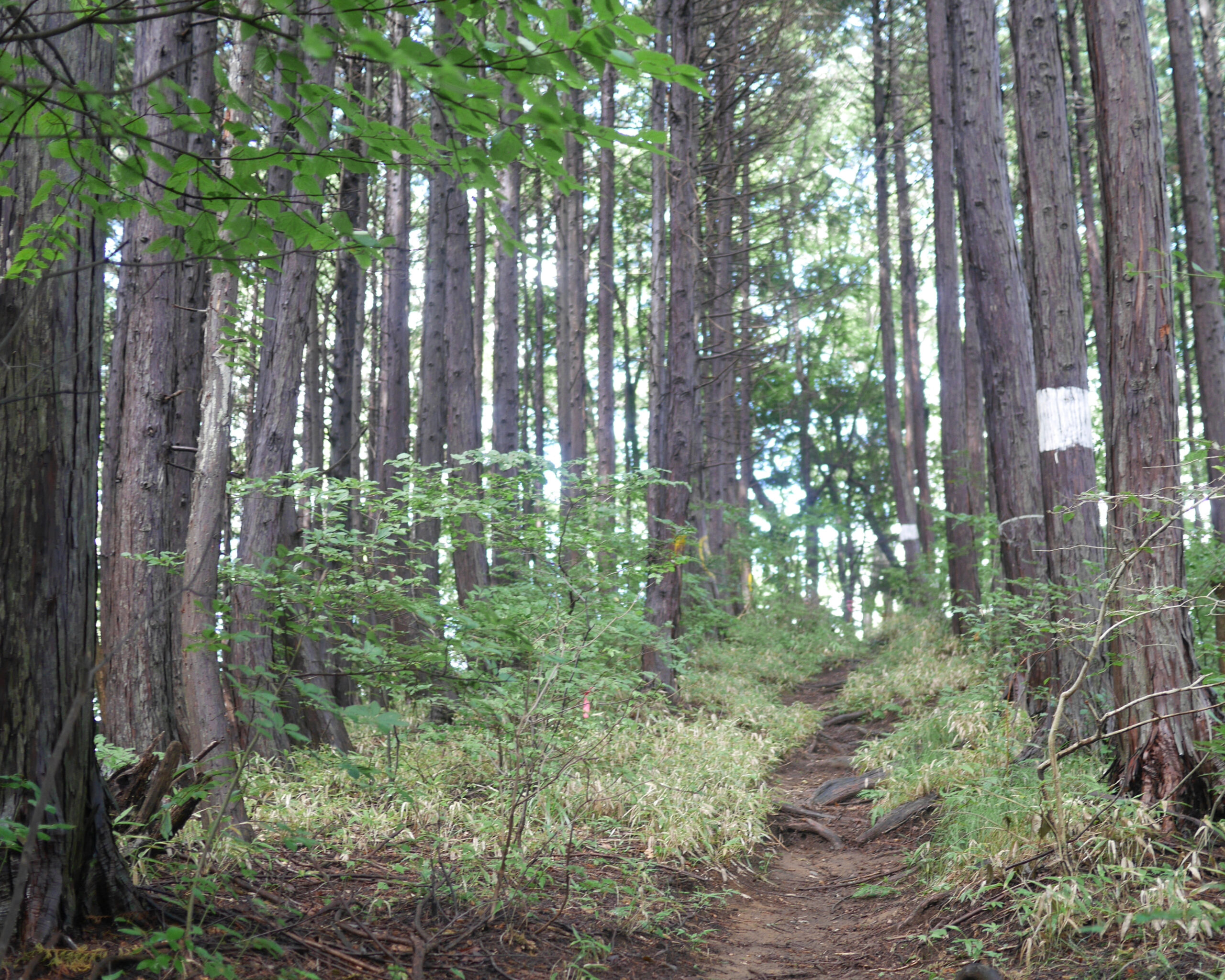

Relentless up and down section of the Hasetsune Course
| Distance | 4.1K |
| Elevation Gain | 480m |
| Elevation Drop | 320m |
This section starts at 601m above sea level, and reaches a maximum of 787m just before the finish. Over the ensuing 4.1K, you climb more than double the 186m altitude difference between the section start and finish.

The course continues up a staircase in the concrete embankment across the road from the trail opening of behind you. After a short uphill, the trail veers down to the right on a makimichi.
A little after the trails rejoin, there is a trail crossing at what is called 旧入山 – kyuuiriyamatouge – the original Iriyama Pass. This is the low point of section 3 at 562m. There is a short climb to an electric line tower under which you pass and move to the left.
The next 3.5k is a relentless up/down with only a few stretches of 100-200 meters of runnable terrain.
Tricky Turn

Pay close attention to course markings. There is a tricky turn at about 800 meters into this segment. After you start a short climb the trail levels of to the left into a fairly robust makimichi. Note that there are multiple Hasetsune posts placed in the hillside to the right.
Be careful! The course continues in a climb up the hill to the right, NOT on the flat trail.
After this climb, the trail descends a bit and meets up with the makimichi at a place called 鳥切場 – tokkiriba. Having headed in a southerly direction, after the climb the trail heads due west to Mt Ichimichi.
This east-west stretch is called 峰見通り – minemidori, which loosely translates to ‘peak watch street’ which gives the impression of the jagged terrain.

With about 600 meters to go, the right side of the trail opens a bit with post-harvest new growth trees. Here the trail is a slick single track with stumps and roots providing challenges to gaining speed on the last downhill before the section ends. Once down the hill, there is still an 90m climb over the span of 500 meters.
End of This Section

Once up that hill, there is are three more short peaks to roll over before the section ends. The ending is at a signpost pointing about 170º back to the left. Follow that trail for the next section to 醍醐丸 – Daigomaru
Related Links
How to Get Out to the Tokyo Mountains
How to Read Hasetsune Trail Markers
ハセツネ – Hasetsune
https://www.hasetsune.jp/ (Official Site)
More in this series
- Hasetsune Course: Mt Hinode to Itsukaichi Hall

- Hasetsune Course: Mt Mitake To Mt Hinode

- Hasetsune Course: Mt Otake to Mt Mitake

- Hasetsune Course: Odawa to Mt Otake

- Hasetsune Course: Mt Gozen to Odawa

- Hasetsune Course: Tsukiyomi Parking to Mt Gozen

- Hasetsune Course: Mt Mito to Tsukiyomi Parking

- Hasetsune Course: Saibara Pass to Mt Mito

- Hasetsune Course: Maruyama to Saibara Pass

- Hasetsune Course: Sengen Pass to Maruyama

- Hasetsune Course: Mt Mikuni to Sengen Pass

- Hasetsune Course: Daigomaru to Mt Mikuni

- Hasetsune Course: Mt Ichimichi to Daigomaru

- Hasetsune Course: Iriyama Pass to Ichimichi Turn

- Hasetsune Course: Mt Imakuma To Iriyama Pass

- Hasetsune Course: Start to Mt Imakuma

- How to Read Hasetsune Trail Markers

- The Hometown of Japan Trailrunning – Musashi Itsukaichi

