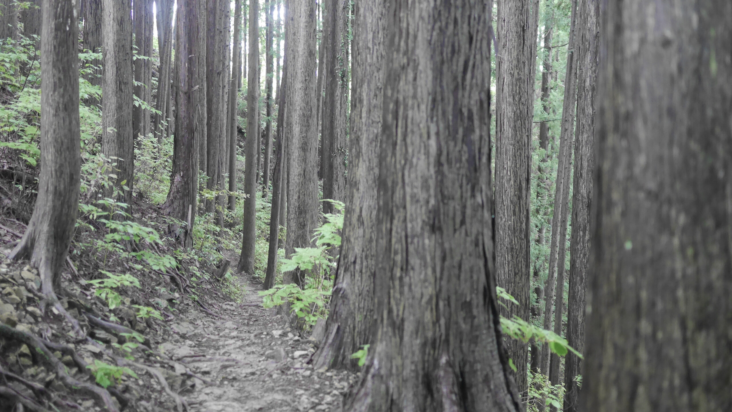

Hasetsune Course from Imakuma to Iriyama Pass
| Distance | 2.5K |
| Elevation Gain | 180m |
| Elevation Drop | 70m |
For the next 30k there will be a series of up/downs gradually increasing in height until 三頭山 – Mt Mito. There is only one road crossing, which comes at the end of this short section.

The first piece of the course finishes on the landing just below the peak of 今熊山 – Mt Imakuma. There are toilet facilities as you turn left after the last switchback. Past the toilets, go up the first flight of stairs and the trail is to the left.
Escape Route
If you miss the turn and continue up the stairs, you get to the upper complex of the Imakuma Shrine on the peak. If today isn’t your day and you feel like throwing in the towel, you can take the trail left past the main shrine building which leads back to the road at the electricity plant.


This initial part of this area of the course is nice and runnable. You will go down over the first 300 meters before hitting a gradual climb of about 120m over 1km distance.
The trail will continue to be runnable in places, but the short, steep climbs that Hasetsune is known for start to come into play before this section ends.
You are deposited on the road at 入山峠 – Iriyama Pass.

Iriyama Pass is a on the paved 盆堀林道 – Bonbori Forrest Road. The original Iriyama Pass (旧入山峠 – kyuu iriyamatouge) is up the trail a bit, and is referred to on a 2018 Hasetsune map as 北沢峠 – Kitazawa Pass.
Note that there the short peaks on the course in this section which often present makimichi options. It is good to always be on the lookout for the Hasetsune course markings.
Related Links
How to Get Out to the Tokyo Mountains
How to Read Hasetsune Trail Markers
ハセツネ – Hasetsune
https://www.hasetsune.jp/ (Official Site)
More in this series
- Hasetsune Course: Mt Hinode to Itsukaichi Hall

- Hasetsune Course: Mt Mitake To Mt Hinode

- Hasetsune Course: Mt Otake to Mt Mitake

- Hasetsune Course: Odawa to Mt Otake

- Hasetsune Course: Mt Gozen to Odawa

- Hasetsune Course: Tsukiyomi Parking to Mt Gozen

- Hasetsune Course: Mt Mito to Tsukiyomi Parking

- Hasetsune Course: Saibara Pass to Mt Mito

- Hasetsune Course: Maruyama to Saibara Pass

- Hasetsune Course: Sengen Pass to Maruyama

- Hasetsune Course: Mt Mikuni to Sengen Pass

- Hasetsune Course: Daigomaru to Mt Mikuni

- Hasetsune Course: Mt Ichimichi to Daigomaru

- Hasetsune Course: Iriyama Pass to Ichimichi Turn

- Hasetsune Course: Mt Imakuma To Iriyama Pass

- Hasetsune Course: Start to Mt Imakuma

- How to Read Hasetsune Trail Markers

- The Hometown of Japan Trailrunning – Musashi Itsukaichi

